

- MUA Home
- All Project Journals
-
- Introduction
- Frigate Bay
- Plan B
- Diving
- Artifacts
- Teamwork
- Final Dive
- Conservation
- Museum
-
- About the Author
- Acknowledgments
-
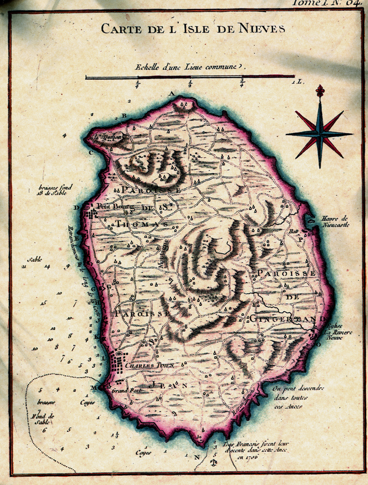
- The top banner was adapted from the 1758 map Carte De L Isle De Nieves by Bellen. You can see the full map here.

Recording Artifacts
12 July 2011
By Justin Parkoff

Justin Parkoff and Ryan Schlater photographing artifacts. (Photograph by Chris Cartellone.)
This week we made significant progress towards meeting our objectives. From our divers' data, a site plan is slowly but surely developing. The focal point of this plan is the trail of debris that we believe came from HMS Solebay. This includes four large cannon, two small carronades, an anchor, eight massive rectangular ballast blocks and an abundance of smaller iron and copper artifacts. The larger artifacts have served as our landmarks while diving. Using these artifacts as datum points, we have been systematically conducting thirty meter circle searches to map out the debris field. One diver holds a measuring tape at the datum point while his or her dive partner circles around them with the tape at increasing five meter increments. When artifacts are discovered, the divers record the distance and compass bearing from the datum point.

Rebecca Spitzer locating artifacts. (Photograph by Chris Cartellone.)
Our visibility underwater is amazing, but the strong currents often make data collection difficult. Sometimes in the middle of recording an artifact, a surge will develop underwater. This surge will unexpectedly pull you back and forth from your desired target. Just when you comfortably get your measuring tape on your artifact, the current will pull you away before getting an accurate reading. After a while, you begin to feel like you are playing a game of wits and timing against an unseen competitor. Unfortunately, the current seems to be better at the game. The scene is often amusing to watch as frustrated divers shake their heads and sway across their targets.

Justin Parkoff recovering magnetometer. (Photograph by Chris Cartellone.)
In an effort to define the extent of the wreck site, we continued our remote sensing survey by towing our magnetometer behind the local police boat. This marked our second attempt using this method of data collection. The survey was conducted over a large coastal area that was divided into thirty-six boat lanes at fifteen meter spacing. This device detects submerged magnetic anomalies that help us determine where to send our divers. Although we are continuing to search for more cannons, we are hoping that the survey will reveal other larger artifacts and ship components.
In between the cannon, we have found scattered rectangular pieces of ballast around which many smaller iron artifacts have congregated. The ship grounded and exploded after an intentionally set fire reached her powder stores. Knowing this, it is surprising that we have found so few larger artifacts or a complete ballast pile. Even if the blast destroyed the superstructure, the hull would have been blown downward. It is possible that for the past two hundred years, heavy hurricanes scattered the wreck site over an undetermined area. Yet, due to the heavy nature of the cannons and ballast, it is difficult to believe that the artifacts were dispersed by hurricanes alone. The lack of larger artifacts might indicate that the ship was salvaged after wrecking.
The trail of artifacts seems to lead north by northeast towards Fort Charles on the lee side of Nevis. It is interesting that the single anchor we found orients toward those compass points and rests at the edge of the debris field. The crew might have dropped the anchor during the battle as they drifted towards the shore. Or maybe they ran aground first and then dropped the anchor hoping they could winch themselves free. The scattered cannon possibly represent the crew's attempt to lighten the ship's load. We just don't know. Hopefully as we analyze our new magnetometer data, the archaeology will answer some of these questions and reveal more information about the wreck site.
To assist our understanding of the site, we have recovered small diagnostic artifacts. These artifacts will undergo conservation at the Texas A&M University Conservation Research Laboratory. Upon completion, they will be returned to the Nevis Historical and Conservation Society, for display in an island museum.

Justin Parkoff and John Schlagheck recovering copper chain. (Photograph by Chris Cartellone.)
We are coming to our last week in the field. Our main objectives are to finish documenting the debris field and to test the magnetometer data with diver verification of promising anomalies. We will briefly snorkel over each of these areas to determine if there is anything warranting diving and further examination. At our current rate, we will complete our artifact measurements, drawings, and photography within three days.
Thank you for your interest in our project. Please wish us luck in our endeavors. As always, please contact us with questions or comments as we continue this research and learning process, cartellone@tamu.edu.
Return to MUA Project Journals home page.