

- MUA Home
- All Project Journals
-
- Introduction
- Frigate Bay
- Plan B
- Diving
- Artifacts
- Teamwork
- Final Dive
- Conservation
- Museum
-
- About the Author
- Acknowledgments
-
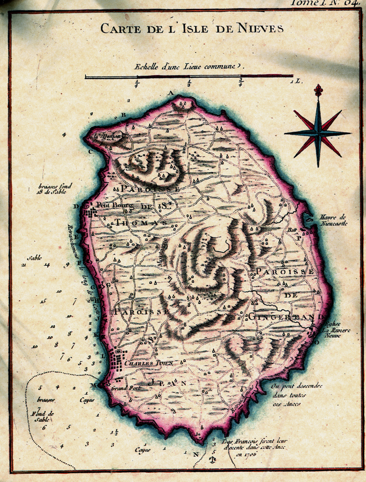
- The top banner was adapted from the 1758 map Carte De L Isle De Nieves by Bellen. You can see the full map here.

Project Introduction
14 June 2011
By Chris Cartellone

Map of Nevis. (maps courtesy of CIA World FactBook).
Welcome aboard! The first question people ask me when I mention this project is, "Where is Nevis?" The island is officially one of two that constitute the sovereign state of the Federation of St. Kitts and Nevis. Located in the West Indies, Nevis forms part of the island chain known as the Leeward Islands in the Lesser Antilles, which run between Puerto Rico and South America. This dormant volcanic island is 93 square kilometers in area, and home to approximately 12,000 people.
While seemingly small in scale, the island is large in historical significance. Nevis boasts thousands of years of history beginning with the Carib Indians. In 1493, Christopher Columbus anchored off Nevis. The Europeans developed the land by the 17th Century into prime Atlantic economic importance during the sugar trade. Nevis became the entrepôt of slave trade into the Lesser Antilles, was the birthplace of American founding-father Alexander Hamilton, and was the location of the United States Navy's first battle during the Quasi-War against France in 1799.

Nevis. (Photograph by Chris Cartellone.)
Nevis Shipwrecks: Project Solebay will initiate underwater archaeological investigations in Nevis, starting this season with a shipwreck believed to be HMS Solebay, lost in 1782. As a Ph.D. student in Texas A&M University's Nautical Archaeology Program, this project will become an important component of my dissertation research. Next year I will return to conduct a comprehensive remote sensing survey to discover other shipwrecks in Nevis' coastal waters. From the archaeological signatures and historical records the goal is to produce a seafaring history of the cultural patterns, emphasizing the social, slavery, conflict, and economic histories. Seafaring irreversibly transformed the natural environment as well by introducing a diverse assortment of new flora and fauna to the island from throughout the world.

A view of the dock with the dive boat on left and St. Kitts in the distance (Photograph by Chris Cartellone.)
In March 2010, a small team from Nevis located the plausible remains of Solebay using a historic map, side scan sonar, underwater video cameras, and diver tow boarding. This season I have three primary field objectives: delineate the site--determining the furthest extent of the artifact scatter--to create a detailed plan, affirm or deny the wreck’s identity as Solebay to the greatest possible extent, and establish a precedent for underwater archaeological investigations in Nevis. From these goals a baseline plan and report will provide Nevis a strategy for future research and mitigation--protecting the site from cultural and environmental destruction. As well, interpretations regarding the site formation process, historical technology, and related cultural behaviors will be analyzed.
This project is possible because of collaborative efforts between people from many institutions. Locally, the project is working through permission and oversight from the Nevis Historical & Conservation Society, and support from the Nevis Air & Sea Ports Authority. I will keep the Royal Navy updated through the British High Commission in Barbados. Students and professors are participating from Texas A&M University, San Jose State University, Finger Lakes Community College, and the University of Southampton. Technological resources and financial support comes from the universities, the Institute of Nautical Archaeology, the Center for Maritime Archaeology and Conservation, and most generously from Adnams PLC.
As the project progresses, I will introduce the team members and sponsors in more depth, and discuss the field recording methods. This is a learning process for me, planning and implementing a maritime project. Please write me with questions and suggestions cartellone@tamu.edu. As an archaeologist, I am looking forward to returning to the field, and sharing our experiences. Please visit this site for weekly updates.
Return to MUA Project Journals home page.